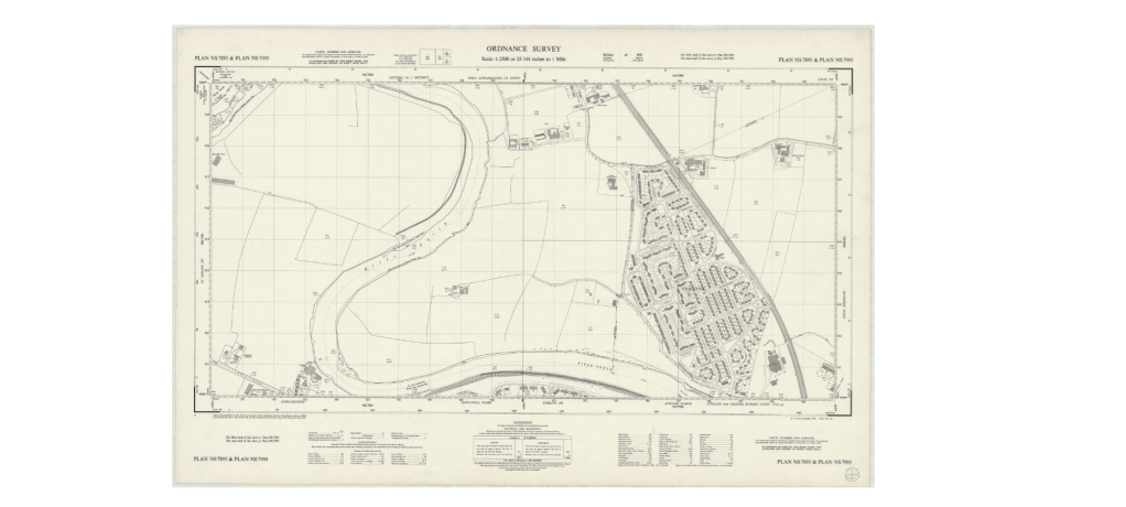
The Jacobite rebellion of 1745 demonstrated to the Government Generals that the land in Scotland was so inhospitable as to form a great problem in their navigation in pursuit of the “rebels”.
This, and fear of invasion during the Napoleonic Wars, prompted the need for proper mapping. Lieutenant-Colonel David Watson proposed the compilation of a map of the Highlands to help in pacifying the region. In response, King George II charged Watson with making a military survey of the Highlands under the command of the Duke of Cumberland.
Among Watson’s assistants were William Roy, Paul Sandby and John Manson. The survey was produced at a scale of 1 inch to 1,000 yards (1:36,000)and included “the Duke of Cumberland’s Map” (primarily by Watson and Roy), now held in the British Library.
Consequently, from this point in time onwards, mapping of specific areas of the country were much more reliable. “Ordnance Survey” Maps could be relied upon both for content and accuracy.
They also form a valuable resource in following the development of the area which has figured large in the development of this website.
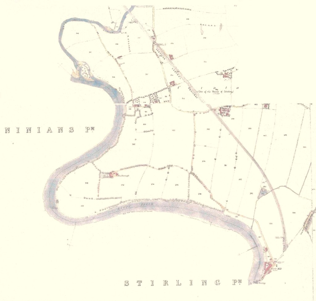
These are the Ordnance Survey maps for Cornton as it was recorded in 1860 while what became Cornton Vale was still what appears to be a group of Smallholdings: –
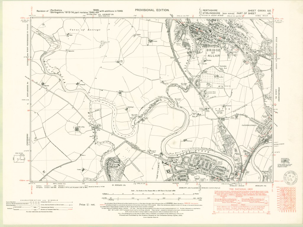
This one from the late forties showing a partly complete prefab development: –
And this is the Ordnance Survey Map of Cornton showing how the place the place has changed by 1958-59 Complete with the primary School and Cornton Vale Borstal.