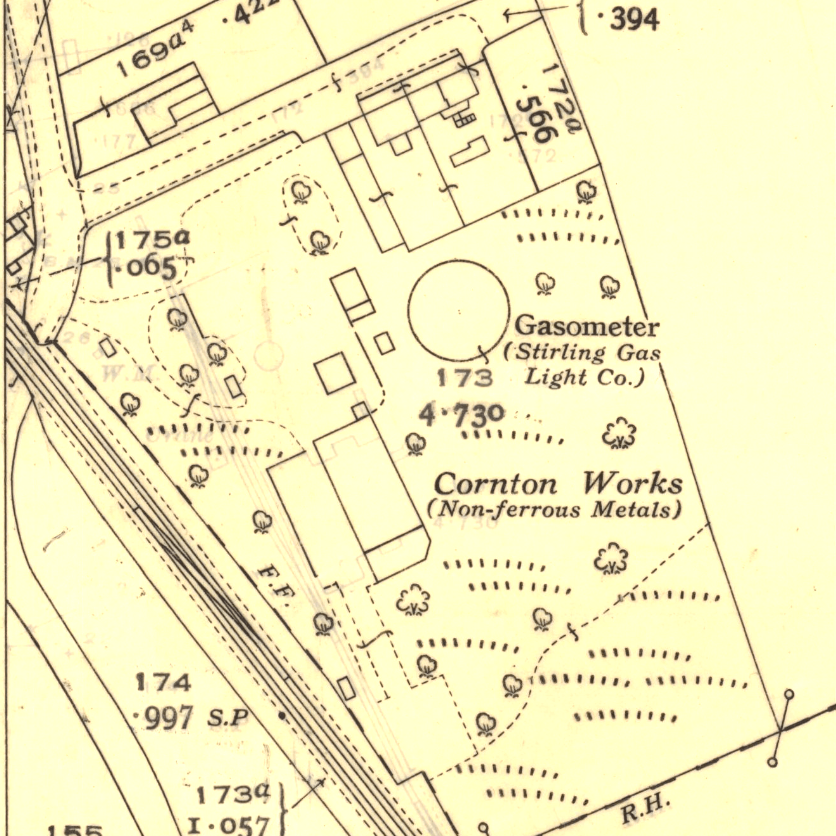
Ordnance Survey Map 1942
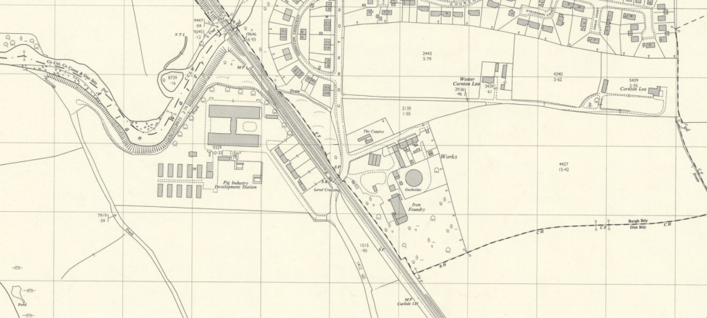
Ordnance Survey map 1960.
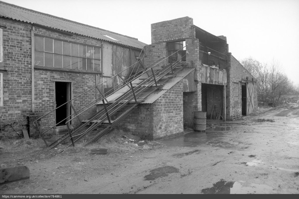
View showing the incline towards the Cupola
© Copyright: HES (Papers of Professor John R Hume, economic and industrial historian, Glasgow, Scotland)
Cornton Foundry, strictly speaking, was not in Cornton, being on the other side of the tracks so to speak. The Foundry principally made road castings. In 1971 this foundry was still owned by a Mr Davie, who ran it with two employees, who moulded for a fortnight, then poured all the moulds at once.
The site, however, began life as the Brick and Tile Works in the late 19th Century. It morphed after that through: –
- The Bridge of Allan Town Council Gas Works. – On Thursday 13th December 1934 The Scotsman newspaper reported: – “Bridge of Allan Town Council have agreed to accept an offer from the Stirling Gas Light Co for the Bridge of Allan gas undertaking”. The 1942 O.S. map above bears witness to this.
- A Non Ferous Metals Works
- Then sometime before 1969 it became “Iron Foundry”.
- At some point in time after 1969, when it was so labelled in the OS Map, this disappeared and –
- The last occupant of the site was the Trailer Company currently established at the Livestock Market on the Drip Road.