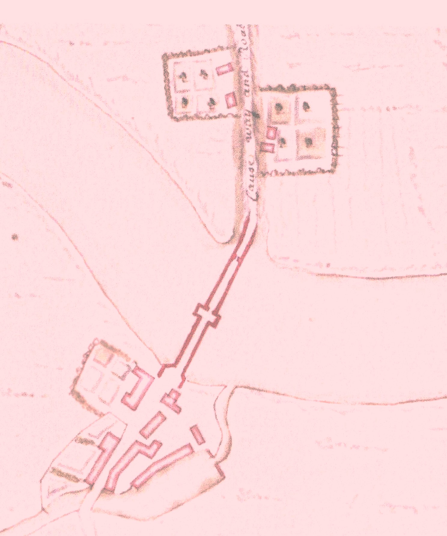
The earliest reliable maps we can access begin around 1725. They show a bridge across the Forth and a road heading north labelled “Cause Way and Road to Dumblin”. There are two (what appear to be) buildings on either side of the road (outlined in red) which look like they are associated with some sort of allotment or orchard.
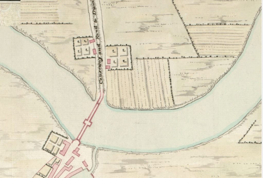
This 1740 map replicates that shown on the 1725 map and indicates a greater agricultural activity with the suggestion of tilled or worked fields alongside. It still, however, indicates what appears to be the two buildings on each side of the road shown on the earlier map.
Nothing is ever simple though! This painting commissioned by the Tolbooth in Stirling and completed in 1707 by John Berrihill, an Alloa artist, depicts the Bridge along with the Brig Mill on the south side and Bridgehaugh Farm on the northern side.

The buildings which we assume constituted a Farmstead named Bridgehaugh first appeared on maps between 1740 and 1780. They are shown on maps including Ordnance Survey from 1780 onwards but do not appear on the 1740 map.
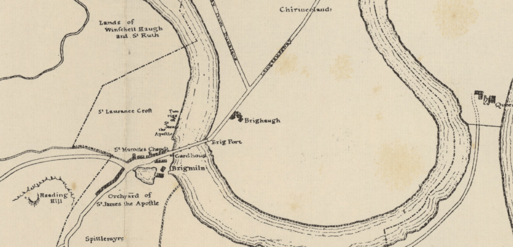
Alexander Beith McDonald’s map, however, noted (in pencil in the margin) to be c. 1700 shows very little on the Cornton side of the bridge but does show Bridgehaugh Farm. This map, if correctly dated, confirms the existence of Bridgehaugh at the beginning of the 18th Century: –
On this 1780 map there is another building on the west side of the road where the current Brighae stands. It is simply labelled Bridge Ho.
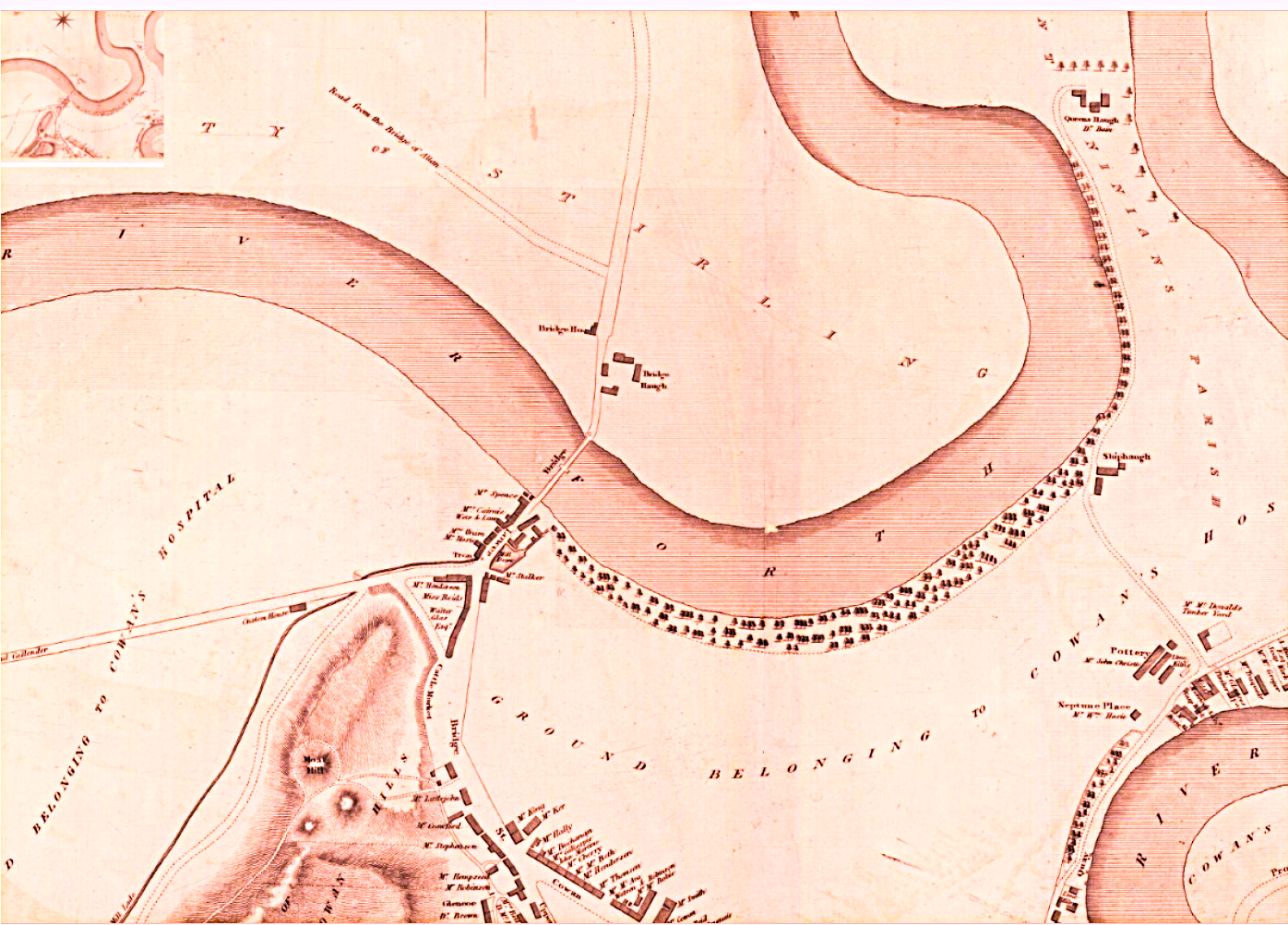
It is notable also that the Cornton Road on this map is labelled “Road from the Bridge of Allan”. The inclusion of the word “the” seems to indicate that, essentially, only the bridge is in existence at this time although it is recorded, in Katherine Steuart’s “By Allan Water”, that the Steuart family kept a famous Inn called Brigend at Bridge of Allan in the 18th Century.
At this time there are no railways and the steading seems perfectly comfortably positioned to administer to the land to the East of the road North from the bridge and to the west of the loop in the river.
The 1820 map shows very little change but the 1859 map shows a remarkable transformation. The old bridge is still in place but there is a new bridge to the south of that (built 1832) creating a new road, north out of Stirling, to the East of the old road and the farm steading. In the 1840s Railway lines to the East of that, heading North and East, further separate the steading from its farmlands. There is evidence on that map of an underbridge providing access through to the fields beyond.
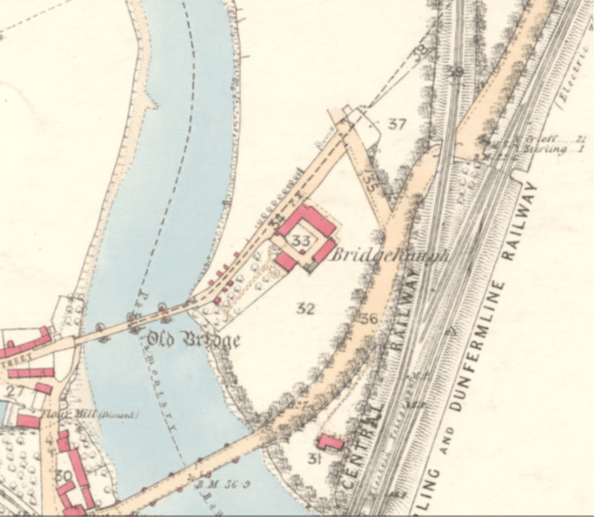
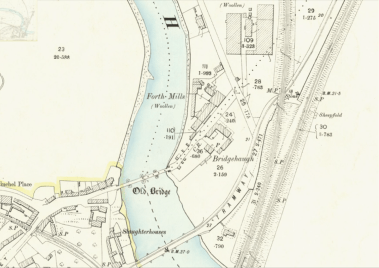
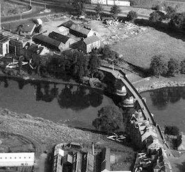
Brridgehaugh Farm 1958
By 1861 things begin to blossom and we have the establishment of Archibald Forrest’s Cabinet Making works south of the “Forth Woollen Mill” (1840) and the Forthvale Mill across the road.
Also on the 1861 map we see Forthvale Cottage and Topsy Turvy Cottage, the former being further north.
Later on in the 19th Century, documents reveal that a Thomas Raines operated a large Business out of Bridgehaugh for the hiring out of Threshing machines and Traction Engines. Surely this could only have been from the old Farm Steading. The 1884 & 1885 Valuation Rolls show “House, Steading and Park” owned by The Patrons of Cowane’s Hospital per William Christie, Watchmaker, 36 Port Street. The Tenant is listed as Thomas Raines, Thrasher. It would appear that the same Thomas Raines (or someone with the same name) also jointly with others tenanted a garden in Dumbarton Road.
The 1881 Census shows Thomas Raines, his wife Jane, and his son Richard resident at Bridgehaugh House along with Jeannie Binnie, a servant. Both Thomas and his wife were English but seventeen year old Richard was born in Stirling.
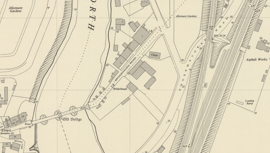
The farm steading buildings were certainly still in existence at the end of the 1950s but they were by that time in the region of 200 years old and must have been showing their age because after this there is no record of them at all.